
3D scanning and topography
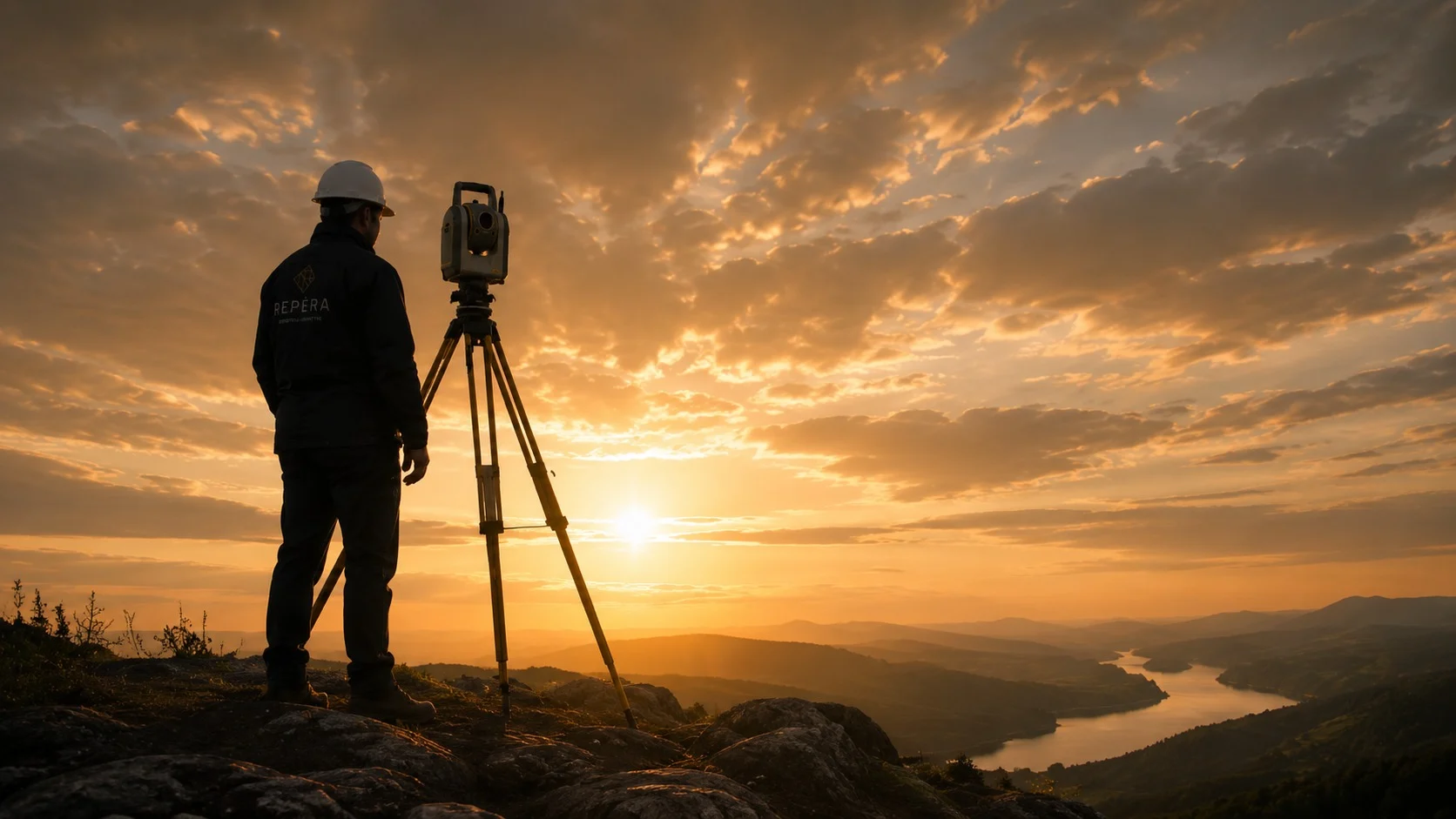
Precision scanning, high-resolution point clouds, topographic plans and as-built plans for your surveys of existing conditions.

Bathymetry
Survey of lake and river beds with a remote-controlled hydrographic boat: depths, sediments, dredging volumes.
Volumetrics
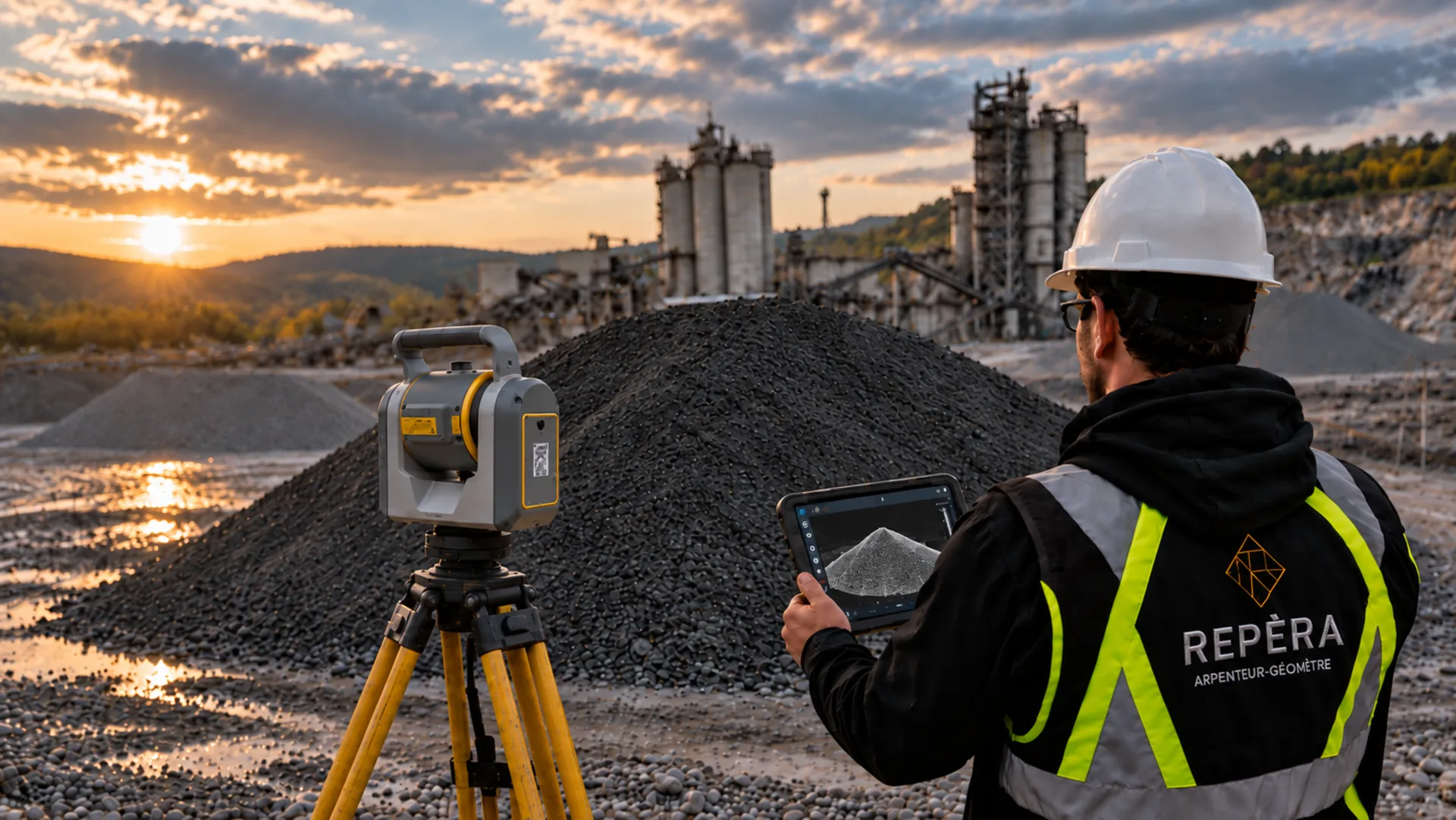
Volume calculations (stockpiles, excavations, borrow pits) and digital terrain models (DTM).
Drone imaging
Aerial data acquisition by drone.
Microgeodesy and levelling
Very high-precision measurements for complex projects: monitoring, alignments, precision levelling.
Advanced technology. Reliable data.
Digital terrain model (DTM)
An accurate 3D representation of your land’s relief, ready for design and calculations.
Topography
Topographic plans and contour lines to read the relief and plan drainage and grading.
Rentable area calculation (BOMA)
Measurement of rentable space according to the BOMA standard, for fair and verifiable leases.
Land-use planning
Surveys and plans for your projects in conservation areas: wetlands, wildlife habitats and riparian strips.
As-built plan
An exact picture of existing conditions, buildings and landscaping, before your work or renovations.
Special projects
An unusual need? Let’s talk: we adapt our tools and methods to your project.