Forestry
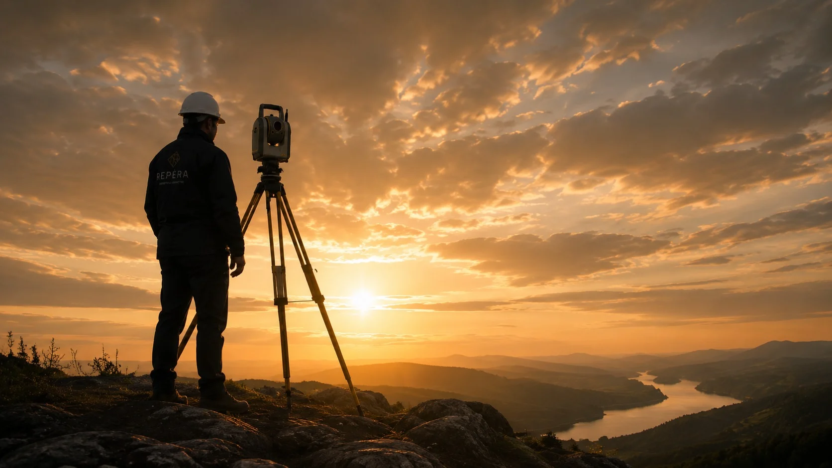
Repèra offers a full range of surveying and measurement services for forest management groups, forestry workers and woodlot and sugar bush owners. Our latest-generation equipment allows us to design tailored solutions adapted to your needs, such as drone surveys to calculate standing timber volumes, plans and data for optimal harvest planning, and the design and layout of forest road alignments.

Agriculture
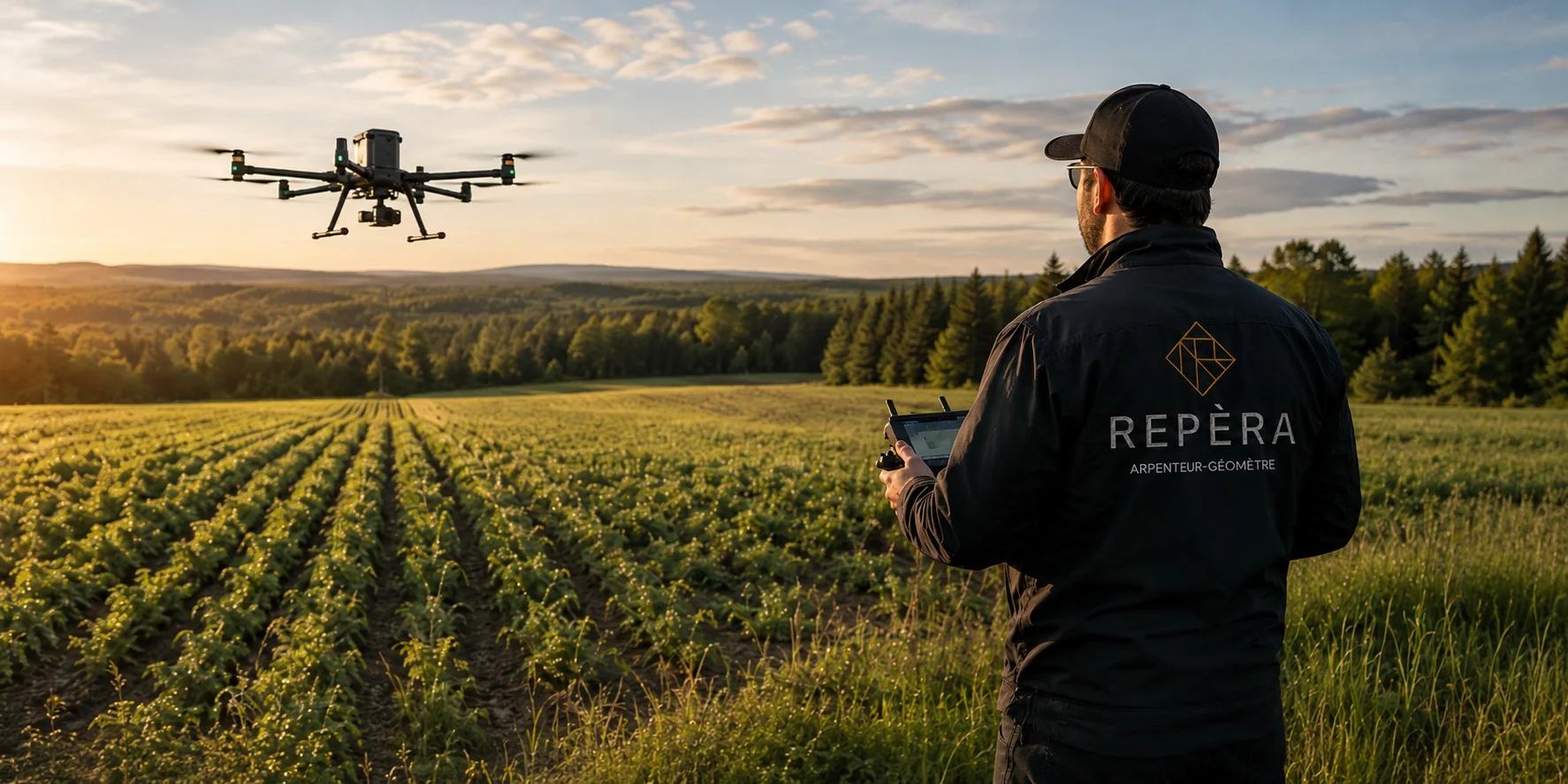
Repèra offers a full range of surveying and measurement services for farmers. Our latest-generation equipment allows us to design tailored solutions adapted to your needs, such as drainage analysis, crop monitoring, optimization of spreading and irrigation, and more.

Boundary determination for large properties
Clear, permanent boundaries for your farm and forest land, even over large areas.
CPTAQ files
Surveying plans and documents to support your applications to the Commission de protection du territoire agricole.

Bathymetry of ponds and watercourses
Survey of the bottom of your ponds and watercourses: depths, volumes and silting.